The online consultation platform is closed.
Share The online consultation platform is closed. on Facebook
Share The online consultation platform is closed. on X (formerly Twitter)
Share The online consultation platform is closed. on Linkedin
Email The online consultation platform is closed. link
A public consultation report will be published by summer 2026.
Stay tuned for our announcements to learn more about next steps and upcoming participation opportunities.
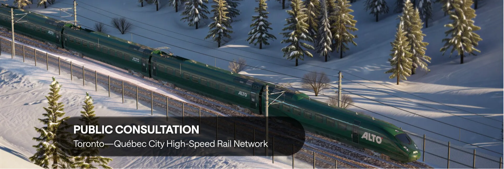
For more information about the Quebec–Toronto high-speed rail network project, visit: www.altotrain.ca
Page published: 25 Apr 2026, 12:15 AM
Custom
Alto Website

Stay up to date with everything that’s going on.